California No-Take Zones Explained
It can be incredibly frustrating to head out for a fantastic day of fishing in California, only to find yourself confused by seemingly arbitrary lines in the water, wondering if you're allowed to drop a line where you are. California's coast and inland waters are rich with marine life, but they also come with a complex set of rules designed to protect those precious resources. Among the most stringent of these are the "No-Take Zones," areas where fishing is absolutely forbidden. This guide is here to clear up the confusion, explain what these zones are all about, and help you navigate them so you can enjoy your time on the water without worry.
Understanding California's No-Take Zones
California is a global leader in marine conservation, and part of that commitment involves creating a network of Marine Protected Areas (MPAs). Think of these as underwater parks, much like national parks on land, but with varying levels of protection. Within this network, No-Take Zones stand out as the strictest category, designed to provide the highest level of sanctuary for marine ecosystems.
What Exactly Is a No-Take Zone?
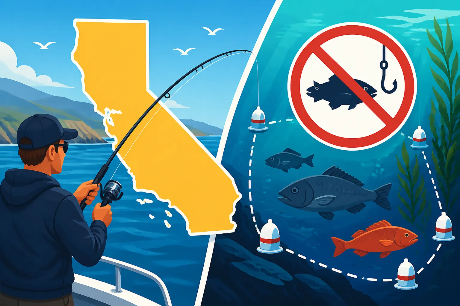
A No-Take Zone is exactly what it sounds like: an area where absolutely no removal of marine life is permitted. This means no fishing, no spearfishing, no collecting of shellfish, no harvesting of seaweed – essentially, nothing can be "taken" from these waters. It's a complete prohibition on extractive activities, allowing marine ecosystems to thrive untouched by human intervention. These zones are usually established in areas critical for biodiversity, such as fish spawning grounds, important kelp forests, or unique rocky reefs. The idea is to let nature run its course, providing a safe haven where fish can grow large, reproduce, and support the health of surrounding waters.
While the concept seems straightforward, the boundaries themselves can sometimes be tricky to discern without proper tools, especially if you're out on the water. These aren't just arbitrary lines drawn on a map; they are carefully selected locations based on extensive scientific research and public input. Understanding the specific regulations for each zone is crucial, and you can delve deeper into the overarching rules in our comprehensive guide to California Fishing Regulations Explained.
The Big Picture: Marine Protected Areas (MPAs)
No-Take Zones are a critical component of California's extensive network of Marine Protected Areas (MPAs). The state has established 124 MPAs and 14 Special Closures along its coast and around its islands, covering approximately 16% of California's state waters. This network is divided into several classifications, each with different rules about what activities are allowed:
- State Marine Reserves (SMRs): These are the true No-Take Zones. All extractive activities are prohibited. Imagine a pristine forest where no hunting or logging is allowed; that's an SMR.
- State Marine Parks (SMPs): These allow for some recreational fishing, typically for finfish, but usually prohibit commercial fishing and certain types of gear.
- State Marine Conservation Areas (SMCAs): These are the most flexible, allowing for specific types of recreational and/or commercial fishing, often with specific gear restrictions or species limitations.
The purpose of this tiered system is to balance conservation needs with recreational and commercial uses, but the SMRs, or No-Take Zones, are the backbone of the conservation effort. They act as ecological baselines, allowing scientists to study undisturbed ecosystems and providing source populations that can "spill over" into adjacent fishing grounds, ultimately benefiting all anglers in the long run. To fully grasp the different categories, it's worth reading our detailed article on California Marine Protected Areas Explained.
Why These Zones Are Crucial for Ocean Health
It's easy to look at a No-Take Zone as a restriction, another place you can't fish, adding to the layers of rules like California Rockfish Depth Restrictions or California Halibut Size and Bag Limits. And sure, that's part of it. But truly, these zones are much more than just limitations; they're vital investments in the future of our oceans and, yes, even our fishing opportunities.
Protecting Biodiversity and Ecosystems
No-Take Zones serve as essential sanctuaries for marine life, allowing fish, invertebrates, and plant communities to thrive without the pressure of fishing. Think of them as nurseries and safe havens. When areas are left undisturbed, fish can grow larger, produce more offspring, and contribute to a healthier gene pool. This protection extends beyond just the target species; it safeguards entire ecosystems, from the smallest plankton to the largest predators.
For instance, these zones often protect critical habitats like kelp forests, rocky reefs, and seagrass beds, which are vital nurseries for many fish species, including popular ones like rockfish and calico bass. By ensuring these habitats are untouched, we provide a stable environment for new generations of fish to grow before they move into areas open to fishing. Scientific studies consistently show that areas inside No-Take Zones have higher biomass, larger individual fish, and greater species diversity compared to unprotected areas. This ecological richness acts as a natural insurance policy against environmental changes and overfishing pressures.
The Long-Term Benefits for Anglers (Yes, Really!)
Now, I know what you might be thinking: "How can not fishing in an area benefit me, the angler?" It's a valid question, and it's a frustration many of us feel. However, the science points to a clear phenomenon known as the "spillover effect." When fish populations grow large and dense within No-Take Zones, they eventually move beyond those boundaries into adjacent areas where fishing is permitted. These larger, more numerous fish then become available for anglers.
This isn't just theory; it's been observed in many places around the world, including California. A well-designed network of No-Take Zones can actually lead to better fishing in the long run by creating healthy "source" populations. It's about sustainable management – ensuring that we have vibrant fish stocks not just for today, but for our kids and grandkids to enjoy. So, while it might mean skipping a favorite spot now, it's an investment in a richer, more abundant future for California's fisheries. This kind of forward-thinking conservation is what helps maintain healthy stocks, much like proper management ensures healthy salmon populations, informing decisions about California Salmon Season Dates.
Navigating No-Take Zones: How to Stay Compliant
The biggest headache for anglers isn't usually why these zones exist, but how to know exactly where they are when you're out on the water. Trust me, nobody wants to accidentally violate a regulation and face penalties. Staying compliant requires a bit of homework before you leave the dock, but with the right tools, it's totally manageable.
Tools and Resources for Identification
The California Department of Fish and Wildlife (CDFW) is your primary source for official information. They provide detailed maps and descriptions of all MPAs, including No-Take Zones. Here’s what you should be using:
- Official CDFW MPA Maps: These are the definitive source. You can find them on the CDFW website, often broken down by region (e.g., North Coast, Central Coast, South Coast, San Francisco Bay). They show the exact coordinates and boundaries. Always download or print the latest versions before your trip.
- Nautical Charts: NOAA nautical charts are incredibly useful. Many will have MPA boundaries marked, especially the larger, more prominent ones. While traditional paper charts are reliable, digital charts on modern marine electronics are fantastic for real-time positioning. You can find excellent waterproof charts and marine GPS units on Amazon that come pre-loaded with detailed mapping, including these restricted areas.
- Mobile Apps: Several fishing and marine navigation apps are available for smartphones and tablets that integrate MPA boundaries with your device's GPS. Apps like Navionics, Fishbrain, or the official CDFW mobile app (if available and up-to-date) can show your exact position relative to a No-Take Zone in real-time. This is probably the easiest way for many recreational anglers to stay on the right side of the line.
- Physical Markers and Signs: In some locations, especially near piers or popular shore fishing spots, you might find signs indicating MPA boundaries. However, these are not universally present, particularly offshore. Never rely solely on visual cues from shore.
It's always a good idea to cross-reference multiple sources. I personally like to check the CDFW maps, plot the coordinates into my boat's GPS, and have a reliable mobile app running as a backup. Things can change, so making sure you have the most current information is key. This helps you understand, for example, California Rockfish Conservation Areas in addition to No-Take Zones.
Practical Tips for Anglers in the Field
Even with all the right tools, it's easy to get distracted while fishing. Here are some practical tips to keep you out of trouble:
- Pre-Trip Planning: Before every outing, specifically identify any No-Take Zones in the area you plan to fish. Mark their boundaries on your GPS or chart plotter. This is non-negotiable, especially if you're exploring new waters.
- Monitor Your GPS Constantly: Keep an eye on your boat's GPS or your mapping app. It’s easy to drift, especially in ocean currents, and accidentally cross into a prohibited area. Set alarms on your GPS if it has that feature, so it warns you when you approach a boundary.
- Understand Local Knowledge: While official maps are paramount, talking to local bait shops, charter captains, or seasoned anglers can provide valuable insights into how boundaries are interpreted in specific areas, or if there are any subtle features that help define them. Just remember to always verify their advice with official sources!
- Err on the Side of Caution: If you're ever in doubt about whether you're in a No-Take Zone, move to an area you know is clear. It's better to lose a few minutes of fishing time than to face the serious consequences of a violation. Remember, ignorance of the law is not an excuse.
- Know How to Read the Regulations Booklet: The official CDFW booklet, often picked up when you buy your California Fishing License Guide, contains essential information about MPAs. Knowing How to Read the California Fishing Regulations Booklet can save you a lot of headaches, as it often has detailed descriptions and sometimes even diagrams.
Here's a quick reference table for identifying MPAs, especially No-Take Zones:
| Resource Type | Description | Best Use Case | Key Features |
|---|---|---|---|
| CDFW Website Maps | Official, detailed PDF maps and GIS data directly from the state. | Pre-trip planning, legal clarity, understanding boundaries precisely. | Exact coordinates, boundary lines, specific regulations for each zone. |
| Marine GPS/Chartplotter | Dedicated onboard electronic devices with mapping capabilities. | Real-time navigation, position tracking, boundary alerts. | Displays your vessel's position, custom waypoints, often includes MPA overlays. |
| Mobile Fishing Apps | Smartphone/tablet apps (e.g., Navionics, Fishbrain) integrating maps and GPS. | Convenient real-time tracking, on-the-go checks, accessible anywhere. | User-friendly interface, often includes crowdsourced fishing info, offline maps. |
| Nautical Charts | Paper or digital charts from NOAA. | Backup navigation, detailed bathymetry, understanding ocean floor. | Depicts depths, hazards, often marks larger MPA boundaries. |
| Local Signs | Physical signs posted at popular access points (piers, beaches). | Visual confirmation at immediate entry points, shore fishing. | Clear "No Fishing" or MPA boundary warnings. |
Always, always double-check. The consequences of a mistake can be severe. This diligence is crucial, just like understanding the various requirements for a California Fishing License Requirements for Visitors.
The Serious Consequences of Violating No-Take Zones
It’s tempting to think, "What's the harm in just one cast?" when you're near a promising spot that happens to be a No-Take Zone. But I’m here to tell you, it's not worth it. The California Department of Fish and Wildlife (CDFW) takes these violations very seriously, and the consequences can be much more impactful than just losing a fish.
Penalties and Legal Ramifications
Fishing in a No-Take Zone is considered a violation of state law, specifically under the California Fish and Game Code. CDFW Wardens are highly trained and have sophisticated tools, including patrol boats, aerial surveillance, and even underwater cameras, to monitor these areas. Getting caught often means facing significant legal repercussions:
- Hefty Fines: Fines for fishing violations can range from hundreds to thousands of dollars, depending on the severity and nature of the offense. These aren't just minor tickets; they can put a serious dent in your wallet.
- Confiscation of Gear: Your fishing gear, including rods, reels, tackle, and even your boat in egregious cases, can be seized by wardens. Imagine losing your prized setup simply because you ignored a boundary.
- License Suspension/Revocation: Your California fishing license can be suspended or even permanently revoked. This means you won't be able to legally fish in California for a considerable period, or ever again in the worst cases. This is particularly painful for dedicated anglers. You can understand more about potential penalties by looking into California Fishing License Fines and Penalties or California Fishing Without a License Penalty.
- Criminal Charges: In more severe or repeated cases, fishing in a No-Take Zone can lead to misdemeanor or even felony charges, which can result in jail time and a permanent criminal record. This isn't just about fishing anymore; it becomes a serious legal matter.
- Community Service: Some violations might include mandatory community service, often related to conservation efforts.
The intent often doesn't matter as much as the act itself. Even if you genuinely didn't know you were in a No-Take Zone, the responsibility falls on you to be informed. That's why tools like up-to-date GPS maps, such as those you can get through various apps or on a dedicated marine GPS unit (which are often sold on platforms like Amazon), are indispensable. Knowing how to use these tools and actively checking them ensures you're always on the right side of the law. Also, being familiar with resources like How to Know If You're in a California MPA can prevent these kinds of situations.
Impact on Conservation Efforts and the Angling Community
Beyond the personal legal headaches, violating No-Take Zones has broader negative impacts:
- Undermining Conservation Goals: Every fish illegally removed from a No-Take Zone directly undermines the scientific and conservation efforts aimed at rebuilding and protecting marine populations. These zones are carefully established to allow species to reproduce and grow undisturbed, and poaching weakens that essential protection.
- Negative Public Perception: Incidents of illegal fishing attract negative media attention and can create a poor public image for the entire angling community. It fuels the narrative that all anglers are irresponsible, which isn't fair to the vast majority of us who abide by the rules. It makes it harder to advocate for recreational fishing interests in the future.
- Loss of Trust: Law-abiding anglers, who carefully follow all the rules, rightfully get frustrated when others disregard regulations. It erodes trust within the community and makes it harder for everyone to enjoy the sport responsibly. This is why knowing and respecting these rules is part of being a good steward of our shared resources.
Ultimately, respecting No-Take Zones isn't just about avoiding a fine; it's about being a responsible angler and contributing to the health of California's marine environment for everyone, now and for generations to come.
Disclaimer
The information provided in this guide is for general informational purposes only and does not constitute legal advice. Fishing regulations, including those for No-Take Zones and Marine Protected Areas, can change. It is always the angler's responsibility to consult the most current California Department of Fish and Wildlife (CDFW) regulations and maps before engaging in any fishing activities. Failure to do so may result in fines or penalties.