California Marine Protected Areas Explained
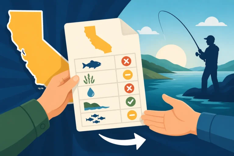
Navigating California's coastal waters can sometimes feel like solving a complex puzzle, especially when you factor in all the rules and regulations. One area that frequently causes a lot of head-scratching and understandable frustration among anglers is the vast network of Marine Protected Areas, or MPAs. It can feel like these zones pop up everywhere, making it tough to know where you can legally cast a line. This guide is here to untangle the confusion, helping you understand what MPAs are, why they exist, and how to confidently fish within the rules, ensuring you have a great time on the water without any unwanted surprises.
What Exactly Are California Marine Protected Areas (MPAs)?
Let's cut through the jargon. At its heart, a Marine Protected Area in California is just what it sounds like: a specific section of ocean, estuary, or bay that's given a bit more protection than other areas. Think of them like state parks or wilderness areas, but underwater. The idea is to conserve marine life and habitats, and while it might seem like just another restriction, these areas play a crucial role in maintaining the health and abundance of our precious ocean ecosystems. It’s an investment in the future of fishing, even if it adds a layer of complexity right now.
The Big Picture: Why We Have MPAs
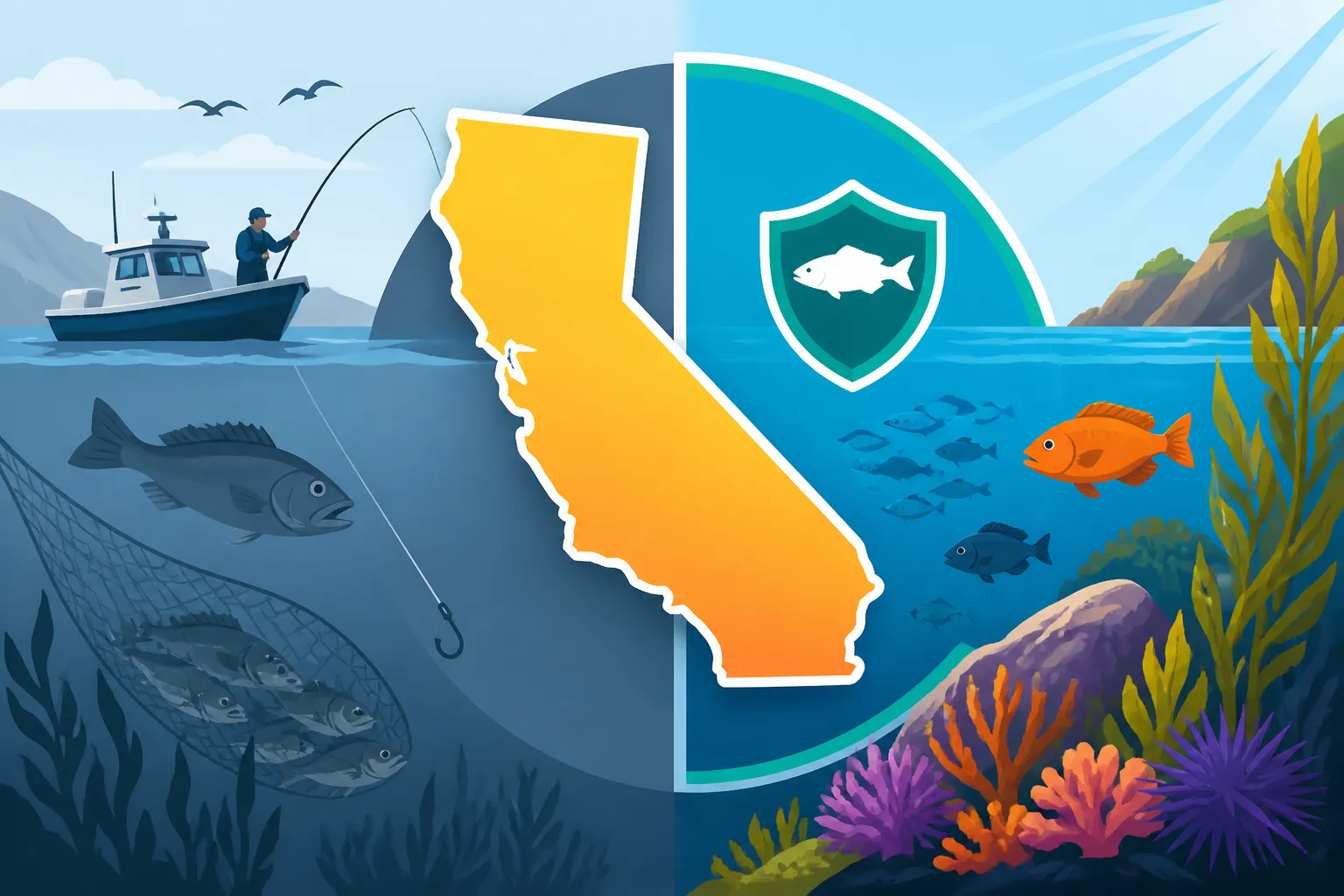
The primary goal behind establishing California's network of MPAs was driven by the Marine Life Protection Act (MLPA), passed way back in 1999. Before this, our marine resources were facing increasing pressure, and the old management strategies weren't quite cutting it. The scientific community and conservationists recognized that by setting aside certain areas, we could create havens where marine life could thrive, reproduce, and grow to maturity without constant fishing pressure. It might feel like another layer of rules, but trust me, there's a good reason. These protected zones are designed to act as nurseries and safe havens, allowing fish populations to rebound and hopefully "spill over" into adjacent areas, ultimately benefiting everyone, including us anglers. It’s a long-term vision for sustainable fishing.
The idea is that a healthier, more diverse ecosystem within the MPA will lead to better fishing opportunities outside of it. Imagine a bustling metropolis of fish and other marine creatures safely reproducing and growing large, then naturally moving out into the surrounding waters where recreational and commercial fishing is allowed. This "spillover effect" is a key part of the conservation strategy. While it's sometimes hard to see the immediate benefits, many studies have shown positive impacts on local fish stocks and biodiversity over time, proving the concept works.
Different Types of MPAs and What They Mean for Anglers
Now, this is where it gets a little nuanced, and honestly, where most of the confusion for anglers comes from. Not all MPAs are created equal, and the rules vary significantly depending on the specific classification. It's not a one-size-fits-all situation, and that's where the frustration often kicks in. California has four main types of MPAs, each with its own set of permitted activities, and understanding these distinctions is key to staying compliant.
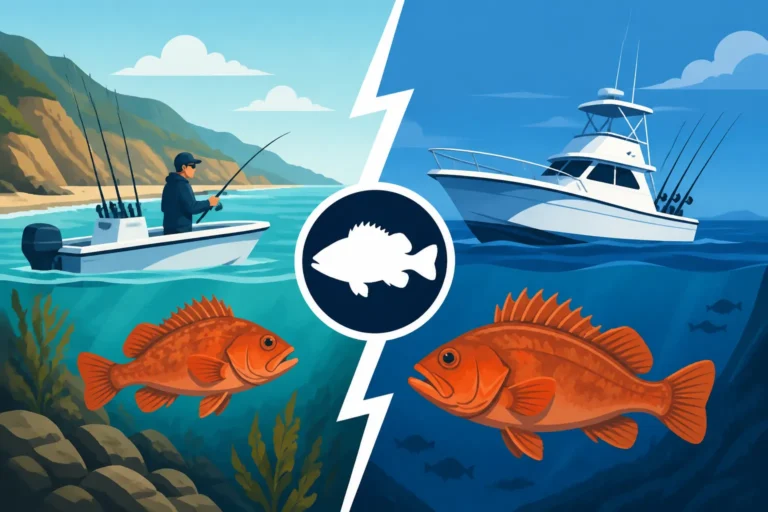
The four main types are: State Marine Reserves (SMRs), State Marine Parks (SMPs), State Marine Conservation Areas (SMCAs), and the much rarer State Marine Recreational Management Areas (SMRMAs). The spectrum ranges from complete no-take zones to areas with highly specific, sometimes intricate, rules about what species you can target, what gear you can use, and even when you can fish. It's vital to remember that these aren't just arbitrary lines on a map; they come with strict regulations. Knowing whether you're in a no-take zone or an area with specific gear restrictions, like those sometimes found under California Rockfish Depth Restrictions, can make all the difference.
Navigating the Rules: What You Can and Can't Do
Once you understand that there isn't a single "MPA rule," you can start to break down what each type means for your fishing plans. This is the practical side of things, and where a little research before you head out can save you a lot of grief. Let's delve into the specifics of what each MPA designation typically entails for anglers.
"No-Take" Zones: State Marine Reserves (SMRs)
State Marine Reserves (SMRs) are the strictest of the bunch. When you see an SMR on your map, think of it as a complete marine wilderness area. No fishing, no collecting, no disturbing marine life whatsoever. These areas are designed to be sanctuaries where nature can operate without human interference. It's akin to a national park where all forms of extraction are prohibited. If you accidentally fish in an SMR, even unknowingly, the penalties can be severe, including hefty fines and confiscation of gear.
A perfect example is the La Jolla Underwater Park State Marine Reserve in San Diego. It's a gorgeous area for diving and snorkeling, but absolutely no fishing is allowed. Similarly, areas like the Vandenberg State Marine Reserve along the Central Coast are strictly protected. The enforcement here is serious, and wildlife officers regularly patrol these waters. It’s crucial to know exactly where these boundaries are before you even think about dropping a line. If you're ever in doubt, it's always safer to err on the side of caution and stay clear of these clearly marked no-take zones.
Limited Fishing in State Marine Parks (SMPs) and State Marine Conservation Areas (SMCAs)
State Marine Parks (SMPs) offer a slightly more relaxed approach than SMRs, but they are still heavily regulated. Generally, SMPs allow recreational fishing but prohibit commercial fishing and sometimes certain types of collection. The idea is to protect the overall ecosystem while still allowing people to enjoy the waters recreationally. However, the specific regulations within each SMP can vary, so you can't assume that what's allowed in one SMP is allowed in another. You might find specific bag limits or seasonal closures that differ from general statewide rules.
State Marine Conservation Areas (SMCAs) are arguably the most complex and require the closest attention. These zones are designed to protect specific marine resources or habitats while allowing some defined recreational and/or commercial activities. This means that an SMCA could allow hook-and-line fishing for certain species but prohibit spearfishing or the use of traps. Or, it might permit recreational fishing for finfish but prohibit the take of invertebrates. The rules are often highly localized and can change, making it essential to consult the most current regulations. For instance, the Point Dume State Marine Conservation Area near Malibu allows some recreational fishing, but has very specific restrictions on what can be caught and what gear can be used. It's situations like these where understanding California Fishing Regulations Explained and checking the specifics for each location becomes absolutely paramount. Don't forget, even general rules like California Barbless Hook Requirements apply here.
State Marine Recreational Management Areas (SMRMAs)
SMRMAs are the least common type of MPA in California and are established for specific recreational uses, often with highly localized regulations. These areas are designed to manage particular recreational activities while still protecting marine resources. You might find an SMRMA created around a popular surfing spot, for example, or an area managed specifically for kayaking or diving, where fishing might be allowed but certain other activities are restricted to ensure public safety or protect specific resources.
The regulations in SMRMAs can be incredibly unique to that specific location, often reflecting local community needs or particular resource management goals. It's not unheard of for an SMRMA to have specific access rules, seasonal restrictions, or even limitations on the size or type of vessel allowed. Because they are so specialized, you absolutely cannot assume anything about fishing within an SMRMA without thoroughly checking the current California Department of Fish and Wildlife (CDFW) regulations for that precise area. If you come across an SMRMA on your charts, consider it a flashing red light telling you to dig into the details before you even think about wetting a line.
Here’s a simplified table outlining the typical restrictions for each MPA type:
| MPA Type | Typical Fishing Allowed | Other Activities (Collection, Spearfishing, etc.) | Enforcement Level | Need for Research |
|---|---|---|---|---|
| State Marine Reserve (SMR) | NONE (No-take zone) | NONE | Strict | High |
| State Marine Park (SMP) | Recreational finfishing often allowed; commercial usually prohibited | Varies; some collection may be allowed; spearfishing often prohibited | Strict | High |
| State Marine Conservation Area (SMCA) | Highly variable; specific species, gear, or seasons may be allowed or prohibited | Highly variable; specific collection/activities may be allowed or prohibited | Very Strict | Very High |
| State Marine Recreational Management Area (SMRMA) | Highly variable; specific recreational fishing may be allowed with conditions | Highly variable; specific recreational activities may be allowed/prohibited | Strict | Very High |
Finding Your Way: Identifying MPA Boundaries
Knowing what the rules are is one thing, but knowing where those rules apply is an entirely different challenge. Many an angler has found themselves scratching their head, wondering if that kelp bed just ahead is inside or outside an MPA boundary. It's easy to accidentally drift into a restricted zone, especially when the fish are biting! Thankfully, there are tools and resources available to help you navigate these invisible lines.
Tools and Resources for Anglers
In this digital age, figuring out MPA boundaries has become much more accessible than relying solely on paper charts and a compass. The first and most authoritative source should always be the California Department of Fish and Wildlife (CDFW) website. They offer interactive maps, detailed regulations for each MPA, and often have GIS data that can be downloaded for use with your own navigation software. These official resources are updated regularly, so they should always be your go-to.
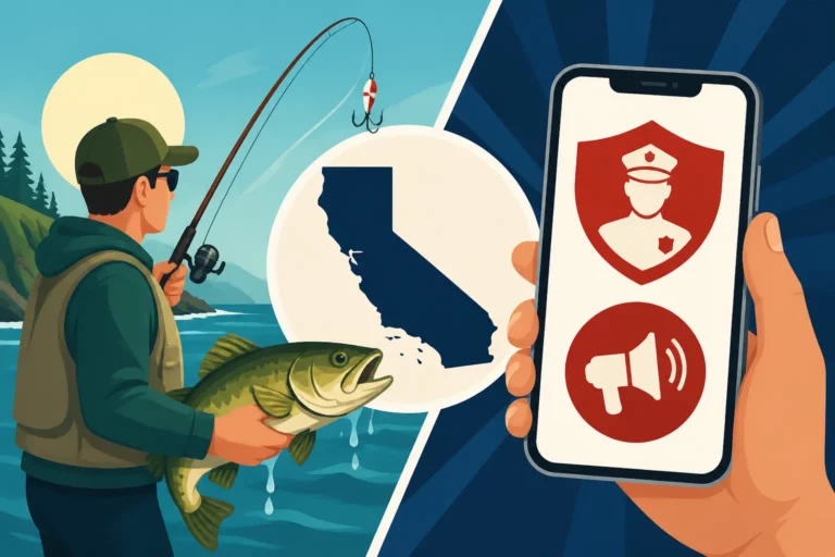
Beyond the official channels, there are a number of fantastic third-party apps and devices designed to help anglers. Apps like FishAlert or Fish Rules are incredibly popular because they use your phone's GPS to show you your exact location relative to MPA boundaries, often even detailing the specific regulations for that spot. These can be lifesavers when you’re out on the water, offering real-time information. For those who prefer dedicated marine electronics, many modern chartplotters from brands like Garmin, Lowrance, or Raymarine will have MPA boundaries pre-loaded or available as downloadable updates. You can even find waterproof cases for your smartphone on sites like Amazon to protect it from the elements while using these navigation apps. Making sure your phone or GPS is up-to-date with the latest boundary information is crucial. You might also want to consult guides like California Marine Protected Area Maps Explained for a broader overview of available mapping tools.
On-Water Indicators and Landmarks
While high-tech solutions are fantastic, you might wonder about more traditional on-water indicators. Historically, marine boundaries were often marked by buoys or channel markers. However, for the intricate and often overlapping boundaries of California's MPAs, relying solely on visual cues can be misleading and insufficient. Buoys can drift, get vandalized, or simply not exist for every single boundary segment. While you might occasionally see signs posted on land for pier or beach access points that fall within or border an MPA, precise marine boundaries far offshore are rarely marked by physical buoys that you can easily spot and identify from your boat.
This means that while coastal landmarks might give you a general sense of where you are, they won't provide the precision needed to stay out of trouble with MPA regulations. For instance, knowing you're off the coast of La Jolla is useful, but only your GPS will tell you if you're inside the La Jolla Underwater Park State Marine Reserve or in the adjacent legal fishing waters. Relying on visual cues alone is a recipe for accidental violations. Therefore, it’s imperative to combine any visible markers with reliable electronic navigation tools to ensure you are always aware of your exact position in relation to MPA boundaries.
The Impact on Fishing: What Anglers Are Seeing
MPAs are a hot topic, and for good reason. They represent a significant shift in how we manage our marine resources, and naturally, they come with both celebrated successes and genuine concerns, particularly from the angling community. It's important to look at both sides of the coin to understand the full picture.
Conservation Successes and "Spillover" Effects
From a conservation standpoint, many MPAs are proving to be quite effective. Scientists often point to increased biodiversity, larger individual fish, and greater overall biomass within protected areas. When fish and other marine life are left undisturbed, they can grow to their full potential, reproduce more successfully, and develop complex ecosystems that are more resilient to environmental changes. This is especially true for species that are long-lived and tend to stay in one area, like many types of rockfish or abalone.
The "spillover effect" is the golden ticket for anglers. The theory is that as fish populations flourish inside an MPA, they eventually become so abundant that individuals start to move out of the protected boundaries into the surrounding waters where fishing is permitted. This effectively "seeds" the adjacent fishing grounds, leading to better catches for anglers. While it can take time to observe these effects, studies in places like the Channel Islands National Marine Sanctuary, which has several associated MPAs, have shown increases in certain species, including spiny lobster and some rockfish. Anglers fishing just outside these zones often report better success, indicating that the conservation efforts are indeed having a positive impact on available fish stocks. It’s a compelling argument for the long-term benefits, even if it feels restrictive in the short term. Areas like California Rockfish Conservation Areas are specifically designed to help these populations recover and thrive.
Challenges and Criticisms from the Angling Community
Despite the ecological benefits, the implementation of MPAs hasn't been without its challenges, and many anglers, both recreational and commercial, have voiced significant concerns. The primary criticism often revolves around reduced access to traditional and historically productive fishing grounds. For generations, certain spots were known for consistent catches, and when those areas become no-take zones or highly restricted SMCAs, it forces anglers to find new spots or travel further, which can be both inconvenient and costly.
Another common frustration is the sheer complexity of the regulations. As we've discussed, the varying rules for different MPA classifications, coupled with constantly updated California Fishing Regulations Explained, can feel overwhelming. It can make planning a fishing trip a headache, requiring extensive research just to ensure compliance. Commercial fishermen, in particular, have faced significant economic impacts, as their livelihoods depend on consistent access to marine resources. While conservation is important, balancing it with the economic realities of those who depend on fishing is a continuous, often contentious, dialogue. Groups like the Coastal Conservation Association of California (CCA CAL) often work to ensure angler voices are heard in these discussions. Some might also feel that the rules are constantly changing, especially when trying to understand specifics like California Salmon Season Dates. This constant need to verify regulations can be burdensome, adding to the cost and complexity of a simple fishing trip.
Staying Compliant: Best Practices for Responsible Angling
Given the complexities and varied regulations, being a responsible angler in California means being well-informed and proactive. It's not just about avoiding fines; it's about contributing to the long-term health of our fisheries and ensuring that future generations can enjoy the same incredible fishing opportunities we have today. A little bit of effort before you leave the dock or beach can go a long, long way.
Always Check the Latest Regulations
This cannot be stressed enough: always check the latest regulations before every fishing trip. California’s fishing rules, especially those pertaining to MPAs, can change seasonally, annually, or sometimes even mid-season due to emergency closures or new scientific findings. Relying on what you remember from last year, or even last month, is a gamble you don't want to take. The California Department of Fish and Wildlife (CDFW) website is your official source for the most up-to-date information. They provide interactive maps, regulatory summaries, and the full text of the regulations.
I personally recommend bookmarking the CDFW's "Ocean Sport Fishing Regulations" page and checking it a day or two before you head out. Even better, sign up for their email alerts, so you get notified directly of any significant changes. Don't forget that many MPAs also have species-specific regulations. For instance, while you might be allowed to target rockfish in an SMCA, there could be specific California Rockfish Depth Restrictions or seasonal closures that apply. It's also a good idea to keep a copy of the annual California Fishing Regulation Booklet Explained on hand, either digitally on your phone or a physical copy (maybe one you ordered from Amazon and have in a waterproof bag). Staying current is the easiest way to avoid accidental violations and enjoy your fishing trip without worry.
Gear and Species Considerations
Beyond knowing where you can and cannot fish, responsible angling within and around MPAs also means paying close attention to your gear and target species. Even in areas where fishing is permitted, specific gear restrictions might apply. For example, many freshwater and some saltwater areas in California require the use of California Barbless Hook Requirements to minimize harm to fish, particularly for catch-and-release. Similarly, depth restrictions for certain species, like rockfish and lingcod, are common in different management areas to protect deepwater species that don't survive pressure changes well when brought to the surface.
Always have the necessary tools for measuring your catch, like a reliable tape measure, and know the California Fishing Bag and Size Limits for all the species you might encounter. If you're planning on a catch-and-release trip, especially for sensitive species or those that might be incidentally caught near MPA boundaries, ensure you're using best practices for quick and safe release. This includes minimizing handling, using appropriate dehooking tools, and if fishing deep, having a descending device ready for rockfish. Remember, the goal of MPAs is to protect marine life, and our actions as anglers, even outside the strict boundaries, contribute to the overall health of the ocean.
Disclaimer
The information provided in this guide is for general informational purposes only and is not intended as legal advice. Fishing regulations in California, particularly concerning Marine Protected Areas, are subject to change and can be complex. Always consult the official California Department of Fish and Wildlife (CDFW) website and current regulations booklet for the most accurate and up-to-date information before engaging in any fishing activities. Compliance with all applicable laws and regulations is the sole responsibility of the individual angler.