California Marine Protected Area Maps Explained
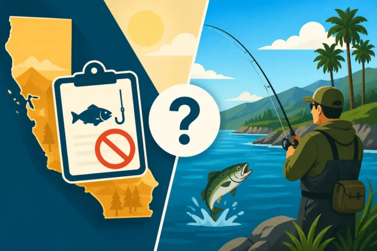
It's incredibly frustrating when you're just trying to enjoy a day on the water, whether you're chasing that trophy bass or hoping for some delicious halibut, only to be bogged down by complex regulations. Understanding California's Marine Protected Areas (MPAs) can feel like deciphering a secret code, and the last thing you want is to accidentally break a rule. This comprehensive guide will break down what these MPA maps mean for anglers like us, helping you navigate these vital conservation zones with confidence and clarity.
What Are California Marine Protected Areas MPAs and Why Do We Have Them
Before we dive into the maps themselves, it’s really helpful to understand the why behind Marine Protected Areas. You see, California’s coastline is incredibly diverse, stretching over 1,100 miles with everything from rocky intertidal zones to deep submarine canyons. This rich environment supports a huge array of marine life, from tiny krill to massive whales, and, of course, all the fish we love to catch. But years of fishing pressure, pollution, and coastal development have taken a toll on these delicate ecosystems. That's where MPAs come in.
The Vision Behind MPAs
Think of MPAs as underwater parks or wilderness areas, designed to protect and restore marine biodiversity and habitats. The idea isn't to shut anglers out, but rather to ensure there's a healthy, vibrant marine environment for future generations. It’s about balance—conservation for long-term sustainability. The state established a statewide network of 124 MPAs and 14 special closures back in 2012, covering approximately 16% of California’s state waters. This wasn't a sudden decision; it was the culmination of years of scientific research, stakeholder input, and a lot of planning under the Marine Life Protection Act (MLPA).
These protected areas aim to achieve several goals. First, they help conserve marine natural heritage, ensuring that unique habitats and species don't disappear. Second, they protect marine life populations, allowing fish to grow larger, reproduce more, and spill over into unprotected areas, potentially improving fishing opportunities nearby. Third, they serve as living laboratories for scientific research, giving us a better understanding of how marine ecosystems function without constant human disturbance. Finally, they provide educational opportunities, helping the public appreciate the ocean's value. It's a grand vision, but as anglers, the practical implications are what we really need to grasp. You might find it useful to read our guide on California Marine Protected Areas Explained for a deeper dive into the overall network.
Different Kinds of Protection
It’s crucial to understand that not all MPAs are created equal. The term "Marine Protected Area" is actually an umbrella for a few different designations, each with its own set of rules. This is where a lot of the confusion can creep in. Some areas are essentially "no-take" zones, meaning absolutely no fishing or removal of marine life is allowed. Others permit certain types of fishing, often with specific gear restrictions or catch limits.
These distinctions are incredibly important because fishing unknowingly in a no-take zone can lead to some hefty fines and penalties. It’s a real headache for anglers, who might find themselves accidentally in violation simply because they didn't understand the specific rules of a particular zone. The maps are designed to clearly delineate these different protection levels, which we'll explore in detail. Knowing these varying levels of protection is key to successfully fishing California’s waters while staying on the right side of the law.
Decoding California MPA Maps Understanding the Different Zones
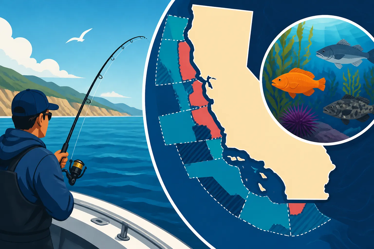
Now, let's get into the nitty-gritty of the maps themselves. When you look at a California MPA map, it's not just a bunch of lines on the water. Each color, each boundary, and each label tells you something vital about what you can and can't do there. It's like learning a new language, but one that directly impacts your fishing trip.
State Marine Reserves SMR
These are the most restrictive type of MPA, and they're usually marked with a distinct color, often a darker shade, on official maps. Imagine a pristine wilderness park where all wildlife is completely protected – that's essentially what an SMR is for the ocean. In a State Marine Reserve, absolutely no take of marine resources is allowed. This means no fishing of any kind, no harvesting of shellfish, no collecting of seaweed, no disturbing the habitat in any way.
The intent here is to create truly undisturbed refuges where marine ecosystems can flourish without human intervention. Fish populations within SMRs are expected to grow larger and become more abundant, potentially "spilling over" into adjacent areas and benefiting anglers outside the reserve boundaries over time. While it can be frustrating to see prime fishing grounds designated as SMRs, understanding their role in the larger conservation effort is important. So, if you see an area labeled as an SMR on your map, consider it a definite no-fishing zone. You can find more details on California No-Take Zones Explained to avoid any accidental violations.
State Marine Parks SMP
State Marine Parks offer a slightly less restrictive level of protection compared to SMRs, but they still have significant limitations on fishing and other activities. These areas are designed to protect marine resources and habitats while still allowing for some recreational and educational opportunities. On maps, they'll also have a specific color or shading that distinguishes them from SMRs and other zones.
Typically, in an SMP, recreational fishing of finfish is often allowed, but commercial fishing is usually prohibited or highly restricted. However, there can be specific regulations for certain species or types of gear. For example, spear fishing might be permitted for certain finfish, while bottom trawling or gillnetting would be strictly forbidden. It's crucial not to assume that just because some fishing is allowed, all fishing is allowed. You'll need to check the specific regulations for each individual State Marine Park, as rules can vary. Always double-check the detailed rules for the specific SMP you plan to visit to ensure you're in compliance.
State Marine Conservation Areas SMCA
This is where things get a bit more nuanced and require careful attention to detail. State Marine Conservation Areas are the most common type of MPA and also the most varied in their regulations. They are designed to protect specific marine habitats or species while allowing for a wide range of human activities, including certain types of fishing, scientific research, and even some commercial operations, provided they are sustainable and don't harm the protected features.
Because SMCAs are so diverse, it's absolutely essential to read the specific regulations for each SMCA you intend to fish. One SMCA might allow recreational take of all finfish but prohibit commercial take of all species. Another might allow commercial take of market squid but prohibit all recreational fishing for rockfish. Some even have depth restrictions for certain species, like the complicated rules surrounding California Rockfish Depth Restrictions. The map will show you the boundary, but it won't tell you the precise rules within it – that requires consulting the California Department of Fish and Wildlife (CDFW) regulations booklet or their online resources. Think of the map as showing you the room, but the regulations booklet gives you the house rules for what you can do inside.
Other Designations and Overlays
Beyond the primary MPA types, you might also encounter other designations on maps or in regulatory documents that can affect your fishing. These include "Special Closures," which are specific areas, often within an MPA or adjacent to one, where certain activities are prohibited at specific times of the year to protect breeding colonies of birds or marine mammals. For example, some islands or rock outcroppings might have a seasonal closure for all entry or fishing within a certain distance.
It's also worth noting that federal waters and regulations can overlay state MPAs. For instance, parts of the Monterey Bay National Marine Sanctuary contain numerous state MPAs. While the state MPAs govern fishing within 3 nautical miles of shore, federal regulations apply beyond that. Always be aware of whether you're in state or federal waters and consult the appropriate regulations. Understanding California Saltwater Fishing Regulations is paramount when planning any coastal trip, as these layers of rules can quickly become complex.
How to Use and Access California MPA Maps for Anglers
Alright, so you know what MPAs are and why they exist, and you've got a grasp of the different protection levels. Now, let's talk about the practical side: how do you actually use these maps to make sure your fishing trip is both productive and compliant? Accessing the right information and knowing how to interpret it on the fly is key.
Official CDFW Resources
The most accurate and up-to-date source for California MPA maps and regulations will always be the California Department of Fish and Wildlife (CDFW). Their website is a treasure trove of information, albeit sometimes a bit dense to navigate. You can find interactive maps that allow you to zoom in on specific areas, click on an MPA, and pull up its exact boundaries and regulations. This is your go-to resource for planning any trip that might take you near an MPA.
Beyond the interactive maps, the CDFW also publishes a comprehensive annual California Fishing Regulation Booklet Explained. This booklet contains detailed descriptions of each MPA, including its name, exact coordinates, and the specific regulations that apply within its boundaries. While the online maps are great for a visual, the text in the booklet provides the undeniable letter of the law. I always recommend having both – a visual reference and the detailed text. You might also want to explore resources like the "Fish and Game Code" for specific details.
Navigational Apps and Devices
In today's tech-driven world, relying solely on paper maps or memorized regulations isn't always practical, especially when you're out on the water. Many anglers now use specialized GPS plotters, marine chartplotters, or fishing apps on their smartphones or tablets to help them navigate and identify MPA boundaries in real-time. Brands like Navionics and C-MAP often integrate MPA data directly into their charts, displaying the boundaries with color coding and allowing you to tap on a zone to see basic regulations.
While these apps are incredibly convenient, always remember that technology can fail, and software updates might lag behind regulatory changes. It's a good practice to cross-reference with official CDFW information, especially before heading out to a new or complex area. You could even look up suitable waterproof phone cases or rugged tablets on Amazon to protect your device while using these apps on your boat. These tools are fantastic for situational awareness but should be used in conjunction with, not as a replacement for, official documentation. Knowing How to Know If You're in a California MPA using these tools can save you a lot of grief.
Physical Maps for Backup and Planning
Even with all the digital advancements, a good old-fashioned paper map still has its place, particularly when it comes to understanding the bigger picture or as a reliable backup. For serious anglers, having a high-quality, detailed marine chart that shows MPA boundaries is invaluable. These charts are often available at tackle shops, marine supply stores, or online retailers like Amazon. Look for charts that clearly label the MPA names and boundaries.
A physical map allows you to spread out and visualize larger areas, plan your routes, and mark potential fishing spots relative to protected zones without worrying about battery life or signal strength. I personally keep a laminated chart of my local fishing grounds in my boat, even though I have a fancy GPS. It's that reliable fallback that never needs charging and can be written on with a dry-erase marker. When you're considering California Fishing License Requirements for Visitors, having physical maps can also help clarify regional specifics that might be harder to grasp on a small screen.
| MPA Type | General Purpose | Fishing Restrictions (General) | Key Characteristic |
|---|---|---|---|
| State Marine Reserve (SMR) | Full protection of marine life and habitats | No take of any marine resources (no fishing, no collecting) | "No-take" zone; strictest protection |
| State Marine Park (SMP) | Protect marine life; allow some recreational activities | Recreational finfish fishing often allowed; commercial fishing usually prohibited | Focus on habitat protection with some recreational access |
| State Marine Conservation Area (SMCA) | Conserve specific resources; allow sustainable uses | Highly variable; some fishing allowed, others prohibited/restricted | Most common, most complex; always check specific regulations for each SMCA |
| Special Closure | Protect sensitive species (birds/mammals) or habitats | Seasonal or permanent prohibition on specific activities (e.g., entry, fishing) | Often adjacent to MPAs; temporary or permanent rules apply |
Common Challenges and Tips for Navigating MPAs
Navigating California’s MPA system can definitely present some unique challenges for anglers. It's not always as straightforward as we'd like it to be, and those moments of doubt on the water can really put a damper on your trip. Let's talk about some of the common frustrations and how we can best overcome them.
Shifting Boundaries and Regulations
One of the biggest headaches for anglers is the potential for changing regulations or boundary lines. While the core MPA network is relatively stable, specific rules within SMCAs, or even the designation of new special closures, can be updated by the CDFW. These changes aren't always widely publicized or immediately integrated into every GPS unit or fishing app. Imagine planning a trip to a spot you've fished for years, only to find out new rockfish rules or a temporary closure went into effect last month. It's enough to make anyone throw their hands up!
To stay on top of this, make it a habit to check the CDFW's official website for updates before any significant trip, especially if you're venturing into an area you haven't fished recently. Subscribing to their email newsletters or following their social media accounts can also give you early warnings about proposed or enacted changes. It’s also wise to check the California Fishing Regulation Booklet Explained annually or even more frequently if specific species you target are known for fluctuating rules, like salmon or Dungeness crab.
Identifying Your Exact Location
Pinpointing your exact location relative to an MPA boundary, especially offshore, can be tricky. Even a few hundred feet can mean the difference between legal fishing and a potential citation. This is particularly true in areas with complex, jagged boundaries or where multiple MPAs are close together. Fog, heavy seas, or a malfunctioning GPS can make this challenge even greater, leaving you second-guessing every cast.
This is where having multiple forms of navigation truly shines. Use your boat's chartplotter, a handheld GPS, and a reliable fishing app on your phone. Many modern chartplotters and apps, like those from Navionics or Garmin, have high-resolution satellite imagery or detailed bathymetric maps that can help you orient yourself. Furthermore, some apps will even send you an alert if you approach an MPA boundary, which can be an absolute lifesaver. Always plot your course with these boundaries in mind, and if there's any doubt, err on the side of caution and fish outside the known protected area. You might want to consider how to prepare for California Offshore Fishing Techniques where precision is key.
Understanding Specific Species Rules
As we touched on, some MPAs, particularly SMCAs, allow fishing for certain species but prohibit others. This can be incredibly confusing. For instance, you might be allowed to catch mackerel in a particular SMCA, but rockfish or halibut are strictly off-limits. These rules are often based on the specific conservation goals of that particular MPA. Trying to remember every single exception for every single MPA is an impossible task for most anglers.
The best approach here is to carry a copy of the specific regulations for the MPA you plan to fish, whether it's printed out or easily accessible on your mobile device. Before you even leave the dock, clearly identify what species are allowed, what gear restrictions apply (e.g., no live bait, barbless hooks only), and any size or bag limits that are different from the general state regulations. This pre-trip planning will save you a lot of stress and potential trouble on the water. For example, understanding California Rockfish Regulations and Limits or California Halibut Regulations and Limits is crucial, as these species often have very specific rules within and outside MPAs.
Environmental Stewardship in MPAs
Even if you're fishing in an SMCA where fishing is permitted, remember that the overarching goal of MPAs is conservation. This means practicing excellent environmental stewardship. Always pack out everything you pack in, including any discarded fishing line, bait containers, or trash. Avoid disturbing marine wildlife, especially sensitive areas like bird nesting sites or seal rookeries.
Consider using practices like catch-and-release when appropriate, particularly for species that are recovering. If you accidentally catch a prohibited species or a fish that's out of season within an MPA, ensure you release it quickly and safely, minimizing harm. It's about being a responsible angler and respecting the protected status of these areas. By being thoughtful and careful, we not only avoid legal issues but also contribute to the long-term health and abundance of California's precious marine resources.
Disclaimer
The information provided in this guide is for general informational purposes only and does not constitute legal advice. Fishing regulations in California, especially concerning Marine Protected Areas, can be complex and subject to change. Always consult the official California Department of Fish and Wildlife (CDFW) website and their most current regulations booklet before engaging in any fishing activities. Compliance with all applicable local, state, and federal laws and regulations is the sole responsibility of the individual angler.